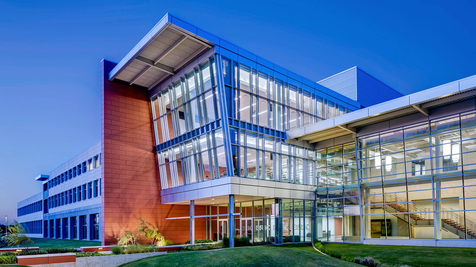
Core Facilities
Learn MoreMaterials Testing and Characterization
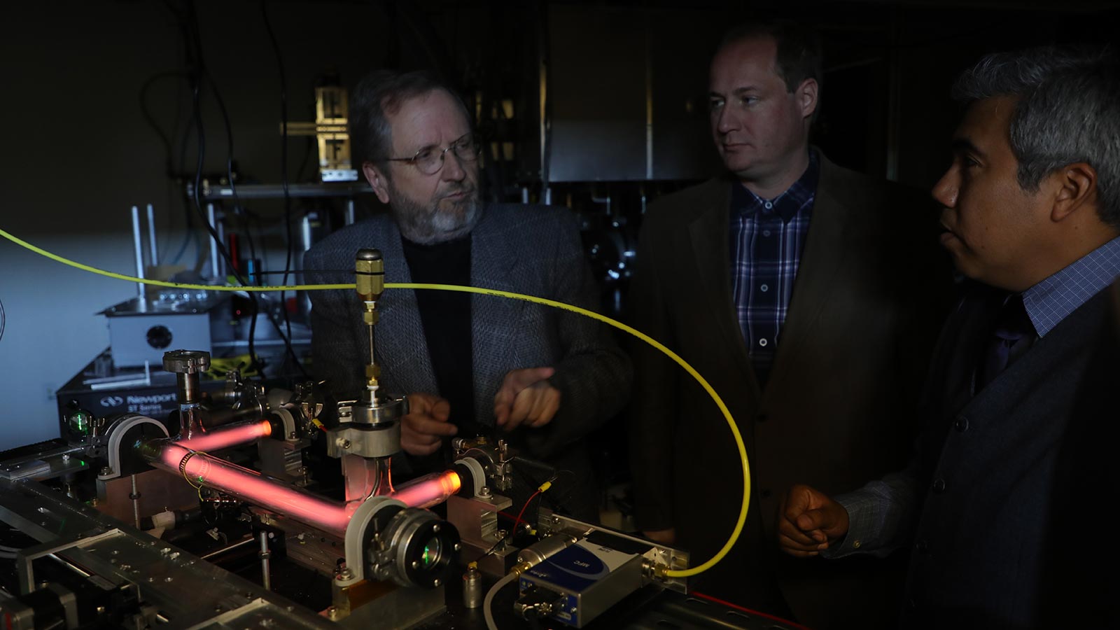
Baylor's Materials Testing & Characterization Core (MTACC) provides equipment, computing resources, and expertise for analysis of a wide range of conventional and advanced materials.
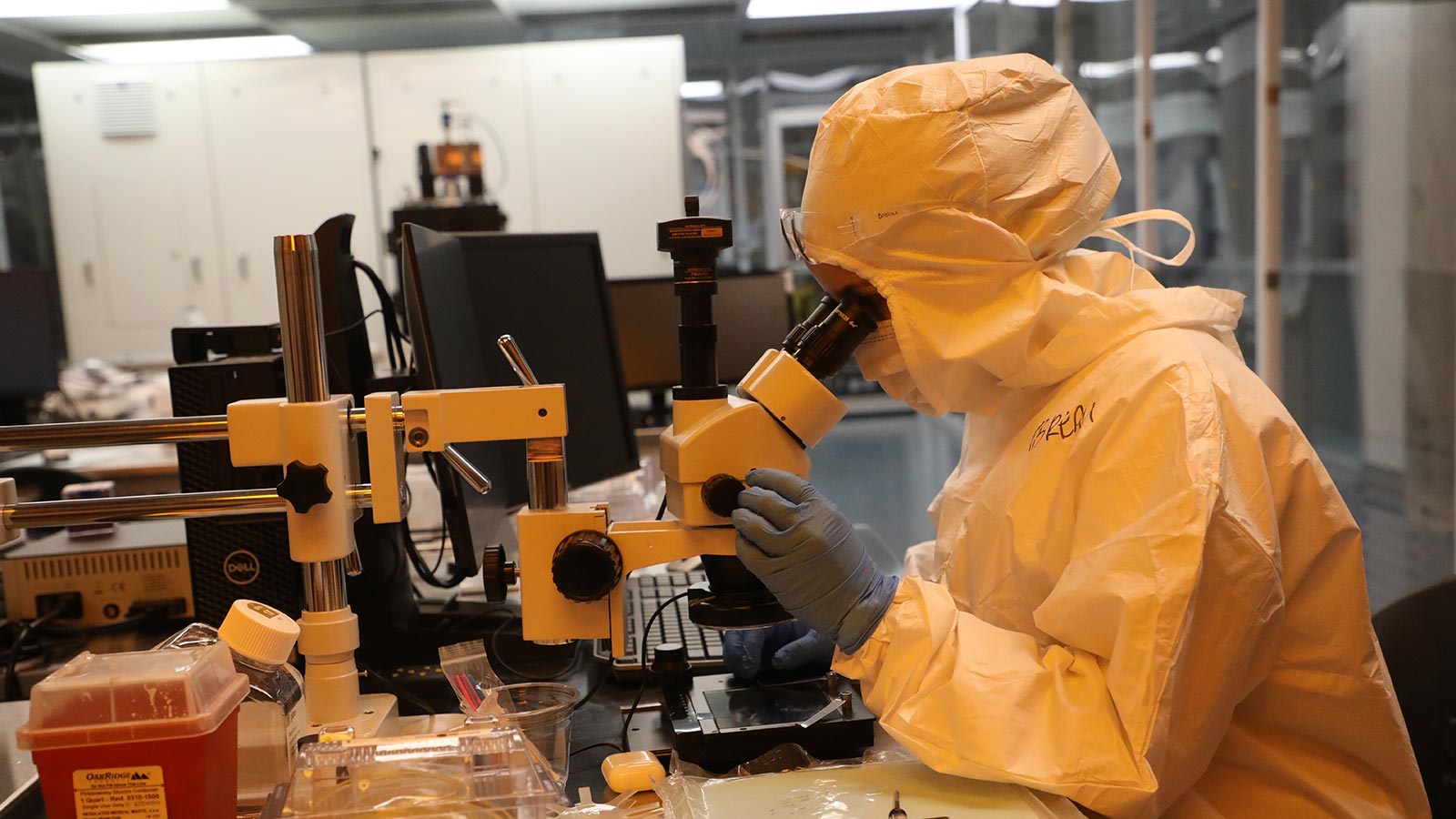
Micro and Nanofabrication Cleanroom
The Micro and Nanofabrication Cleanroom provides a Class 1,000 cleanroom space housing equipment necessary to pattern structures and devices at the nanoscale.